National Workshop on ‘Application and Uses of Hydro-Geomorphological Maps (HGMs) for Groundwater Prospection and Linkages’
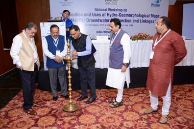
Union Minister of Science & Technology and Earth Sciences, Dr. Harsh Vardhan emphasized on the importance of science as a tool to address water problems. Addressing as the chief guest of the two-day National Workshop on ‘Application and Uses of Hydro-Geomorphological Maps (HGMs) for Groundwater Prospection and Linkages’, he spoke about the various initiatives his Ministry has taken so as to encourage innovative efforts in conserving the precious ground water resources in our country.
Union Minister of Rural Development and Drinking Water and Sanitation, Chaudhary Birender Singh Chaired and presided over the Inaugural Session, said that along with a long term road map, there is need for immediate solutions. Along with science, social aspects should also be considered while planning and managing water resources.
Prof. Ashutosh Sharma, Secretary, Ministry of Science & Technology, the Guest of Honour, said that water makes economies prosper and have wide and multiple linkages.With fast depleting groundwater resources, there is severe threat to water availability, livelihood and sustenance. Managing water resources is critical and technologies like Hydro-Geomorpho logical Mapping can be very useful.
This was the concluding workshop in a series of 12 State workshops, organized over a span of 3 months, which was conducted by the India Water Foundation, a National Key resource Centre of the Ministry of Drinking Water and Sanitation.
Representatives from State Water and Sanitation Mission (SWSM), Panchayati Raj Institution (PRIs), Public Health Engineering Department (PHED) and various other line departments and scientists attended the Workshop and learnt about various applications Hydro-Geomorphological maps in overcoming water problems in their respective states.
Technical Discussion sessions have been organized on subjects like Application and use of Hydro-Geomorphological Maps for locating Ground Water based sources and Source Sustainability Structures under Rural Drinking Water Supply programme of the Ministry of Drinking Water and Sanitation; Role of Geo-Spatial Technology in Transforming Flood Hazards into Opportunity; Aquifer Mapping and Management-Need for Geophysical tools.