
From Potholes to Traffic Jams: How Pune Plans to Use Real-Time Data
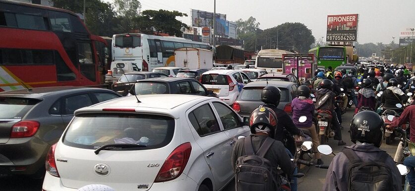
Pune, 28th August 2026: The Pune Municipal Corporation (PMC) will now use real-time traffic and travel data to improve traffic management and infrastructure planning in the city, amid rising vehicle numbers, congestion, accident-prone locations and persistent road-related problems.
The PMC’s Road Department has prepared a proposal to integrate traffic and mobility-related data collected from multiple sources and use it for traffic planning, road development and infrastructure-related decisions.
As part of the initiative, the civic body has started the process of establishing a Pune Urban Mobility Cell. A proposal seeking approval to appoint Ernst & Young LLP as a consultant for three years was placed before the PMC Standing Committee. The consultancy is expected to cost Rs 2.37 crore per year, excluding taxes.
Standing Committee Chairman Shrinath Bhimale said the proposal had been approved.
Integrated traffic management centre planned
An Integrated Traffic Management Cell will also be established to improve coordination between the PMC and Pune Traffic Police.
According to Bhimale, the proposed centre in the Dhole Road area will have a PMC team of around 10 officials, along with a team from the SCMTR.
The civic body plans to bring together data from multiple sources, including TomTom, telecommunications companies, CCTV systems, Mahapreit, Pune Urban App, Road Mitra, GPS-based public transport systems, parking management systems and the citizen grievance redressal system.
Data from the Road Asset Management System (RAMS), Geographic Information System (GIS), Road Construction Management System and Trenching Portal will also be integrated.
Data to identify congestion and accident-prone areas
The combined data will be used to develop an integrated traffic planning and management platform. The system is expected to help identify traffic congestion hotspots, routes that frequently face disruptions and accident-prone areas, allowing authorities to take targeted measures.
The data will also support traffic signal coordination, route planning, parking management, junction redesign, pedestrian infrastructure and cycling track development.
The system is expected to go beyond simply identifying congestion. Authorities will also examine whether traffic problems are linked to potholes, poor road conditions, utility-related excavation and civic complaints, helping identify the underlying causes of recurring traffic disruptions.
The impact of a particular intervention will also be measured by comparing traffic conditions before and after its implementation.
Planning future projects using traffic data
Real-time traffic data is also expected to help the civic body assess the need for flyovers, grade separators and other traffic infrastructure projects.
The objective is to shift from a largely reactive approach—responding to congestion after it occurs—to predictive traffic planning based on anticipated traffic patterns and future mobility requirements.
The integration of RAMS with other digital databases is also expected to help the PMC prioritise the use of limited funds. Officials will be able to assess which roads require immediate investment, which roads need strengthening or reconstruction and the likely maintenance requirements in the future.
What will real-time traffic data help achieve?
Bring traffic and travel-related information from multiple sources onto a single platform.
Identify congestion hotspots, recurring disruptions and accident-prone areas more accurately.
Improve traffic signal coordination, route planning and parking management.
Analyse the relationship between potholes, road excavation and traffic congestion.
Prioritise junction redesign, footpaths, cycling infrastructure and road repairs.
Measure the impact of traffic interventions before and after implementation.
Shift traffic management from a reactive approach to a predictive, data-driven system.