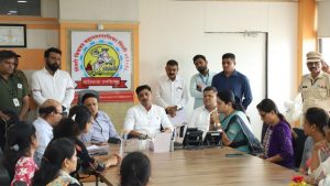
Cyclone Nisarga: Alert issued for Mumbai, North Maharshtra
Mumbai, 2 June 2020 : According to the National Weather Forecasting Centre/Regional Specialised Meteorology Centre/Cyclone Warning Divisionof the India Meteorological Department:
The DeepDepression over Eastcentral Arabian Sea moved northwards with a speed of 11 kmph during past 06 hours and lay centred at 0830 hours IST of today, the 02nd June, 2020 over Eastcentral Arabian Sea near latitude 15.3°N and longitude 71.2°E, about 280 km west of Panjim (Goa), 450 km south-southwest of Mumbai (Maharashtra) and 670 km south-southwest of Surat (Gujarat).
It is very likely to intensify into a Cyclonic Storm during next 06 hours and further into a Severe Cyclonic Storm during subsequent 12 hours. It is very likely to move nearly northwards during next few hours, recurve north-northeastwards thereafter and cross north Maharashtra and adjoining south Gujarat coast between Harihareshwar and Daman, close to Alibag (Raigad District, Maharashtra) during the afternoon of 03rd June as a Severe Cyclonic Storm with a maximum sustained wind speed of 100-110 kmph gusting to 120 kmph.
Forecast track and intensity are given in the following table:
| Date/Time(IST) | Position
(Lat. 0N/ long. 0E) |
Maximum sustained surface wind speed (Kmph) | Category of cyclonic disturbance |
| 02.06.20/0830 | 15.3/71.2 | 55-65 gusting to 75 | Deep Depression |
| 02.06.20/1130 | 15.5/71.3 | 60-70 gusting to 90 | Cyclonic Storm |
| 02.06.20/1730 | 16.0/71.5 | 70-80 gusting to 90 | Cyclonic Storm |
| 02.06.20/2330 | 16.6/71.7 | 90-100 gusting to 110 | Severe Cyclonic Storm |
| 03.06.20/0530 | 17.4/72.1 | 100-110 gusting to 120 | Severe Cyclonic Storm |
| 03.06.20/1730 | 19.2/73.3 | 90-100 gusting to 110 | Severe Cyclonic Storm |
| 04.06.20/0530 | 20.6/74.6 | 50-60 gusting to 70 | Deep Depression |
| 04.06.20/1730 | 22.2/76.3 | 35-45 gusting to 55 | Depression |
Warnings:
(i) Rainfall:
- Light to moderate rainfall at most places with heavy to very heavy falls at isolated places very likely over Konkan & Goa during next 24 hours. Light to moderate rainfall at most places with isolated heavy falls very likely over Coastal Karnataka, Madhya Maharashtra and Marathwada during next 24 hours.
- Light to moderate rainfall at most places with heavy to very heavy falls at a few places and extremely heavy falls ( ≥ 20 cm in 24 hours) at isolated places very likely over north Konkan (Mumbai, Palgar, Thane, Raigad districts) and north Madhya Maharashtra
- Light to moderate rainfall at most places with heavy to very heavy falls at isolated places over south Konkan ( Ratnagiri& Sindhudurg districts) & Goa and south Gujarat region (Valsad, Navsari, Dang, Daman, Dadra & Nagar Haveli and Surat districts)
- Light to moderate rainfall at most places with heavy falls at isolated places over west Madhya Pradesh on 03rd June.
(ii) Wind warning
- Squally wind, speed reaching 55-65 kmph gusting to 75 kmph, is prevailing over Eastcentral Arabian Sea. It will gradually increase becoming Gale wind, speed reaching 60-70 kmph gusting to 80 kmph, over eastcentral Arabian Sea off south Maharashtra & Goa coasts from today afternoon and further becoming 100-110 kmph gusting to 120 kmph over eastcentral Arabian Sea along & off Maharashtra (Raigad, Mumbai, Palghar, Thane) coast from 03rd June morning. Gale wind, speed reaching 80-90 kmph gusting to 100 kmph, likely along & off Valsad, Navsari districts of Gujarat, Daman ad along & off northeast Arabian Sea, Ratnagiri, Sindhudurg districts of Maharashtra and 70-80 kmph gusting to 90 kmph along & off Surat & Bharuch districts of south Gujarat, Dadra & Nagar Haveli from 03rd June noon.
- Squally wind, speed reaching 50-60 kmph gusting to 70 kmph is likely to prevail over northeast Arabian Sea along & off remaining districts of south Gujarat coast on 03rd June.
- Squally wind, speed reaching 50-60 kmph gusting to 70 kmph is likely prevail over eastcentral Arabian Sea along and off Karnataka-Goa coasts during next 24 hours.
(iii) Sea condition
The Sea condition is rough to very rough over Eastcentral Arabian Sea. It would become very rough to High over eastcentral Arabian Sea from today afternoon. It will become High to very High over Eastcentral Arabian Sea along & off Maharashtra & Goa coasts from today. Evening. The Sea condition is very likely to be very rough to High over northeast Arabian Sea along & off south Gujarat coast on 03rd June.
(iv) Storm Surge Warning:
Storm surge of about 1-2 meters height above astronomical tide is very likely to inundate low lying areas of Mumbai up to about 1 to 1.5 km, Thane and Raigad districts and 0.5-1 meter height above the astronomical tide likely to inundate low lying areas of Ratnagiri district during the time of landfall.
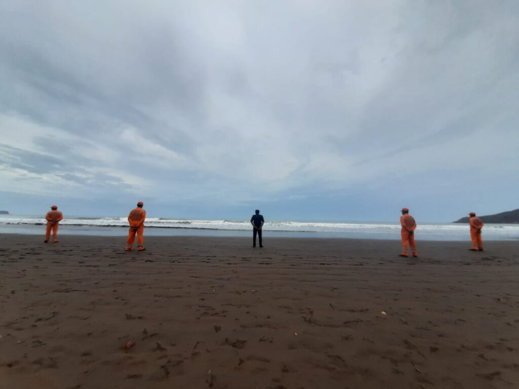
(v) Fishermen Warning
Fishermen are advised not to venture into Eastcentral and Northeast Arabian Sea and along &off Karnataka-Goa-Maharashtra-south Gujarat coasts till 03rd June.
(vi) Damage Expected:
- Major damage to thatched houses/ huts. Roof tops may blow off. Unattached metal sheets may fly.
- Damage to power and communication lines.
- Major damage to Kutcha and some damage to Pucca roads. Flooding of escape routes.
- Breaking of tree branches, uprooting of large avenue trees. Damage to banana and papaya trees. Large dead limbs blown from trees.
- Major damage to coastal crops.
- Damage to embankments/ salt pans.
(vii) Fishermen Warning & Action Suggested:
- Total suspension of fishing operations.
- Mobilise evacuation from low lying areas.
- Judicious regulation of rail and road traffic.
- People in affected areas to remain indoors.
-
Movement in motor boats and small ships unsafe.