Weather Alert: Effect Of Western Disturbance, Rain Warning In 10 States Including Maharashtra
Friyana Munshi
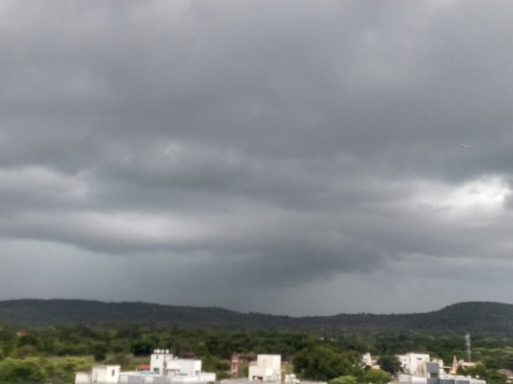
Pune, February 15, 2021: According to the India Meteorological Department (IMD), western disturbances will once again affect the weather of India. Not only this, the effect of western disturbance will be seen in many states of the country. Due to frequent western disturbances in the northern part of India, its effect is seen in the weather in other parts of the country. Rain is forecast on Monday in many parts of North India, South India and Central India.
Due to this, there may be rain and snowfall in Uttarakhand. The administration is also cautious in the high altitude areas with snowfall. Warning of snowfall and light to moderate rain has been issued from Himachal Pradesh to Jammu and Kashmir. There is intermittent snowfall in the Himalayan regions.
Chances of rain in these areas: According to the Meteorological Department, apart from Uttarakhand, Himachal, Jammu, and Kashmir – Madhya Pradesh, Chhattisgarh, Odisha, Jharkhand, Maharashtra, Telangana, and Tamil Nadu are likely to receive unseasonal rains after 15 February. All these states are expected to receive thunderstorms between February 16 and 20. With this, hail storms may also occur in Vidarbha and Chhattisgarh on 17 and 18 February.
Fog will prevail in these states: According to IMD’s forecast, heavy to very dense fog is expected in most parts of Punjab, Haryana, Chandigarh, and Delhi on February 15 and 16. This will most likely be witnessed in the morning. Apart from this, dense fog is likely in most parts of Uttar Pradesh and Uttarakhand in the morning on 15 and 16 February. IMD says that there may be a decrease in the fog from 16 February onwards.
Dense fog engulfing western UP: The weather remained dry in UP but the fog was seen at isolated places in western Uttar Pradesh. According to information received from the Meteorological Department on Monday, the state capital Lucknow recorded a minimum temperature of 10.6 ° C while Prayagraj recorded a minimum temperature of 11.4 ° C. Muzaffarnagar recorded the lowest temperature at 7.7 o C in the state. There is a possibility of thick fog in the morning at different places in western UP on Tuesday. On 16 February and 17 February, there is a possibility of dry weather and fog in the morning in different places of the state.
Rain and snowfall forecast for three days in Uttarakhand: In the plains of Uttarakhand, light sunshine prevailed in some parts, but it was cloudy again in the evening. At the same time, suddenly the weather changed in the afternoon and it started raining in the hilly areas. Light rain also occurred in Uttarkashi and Chamoli districts. Along with this, snowfall occurred on the high hills including Badrinath, Gorson, and Hemkund. The Meteorological Department has forecast light rain and snowfall for the next three days.
Possibility of rain for three days in Maharashtra, Yellow alert in 15 districts: Due to western disturbances, the Meteorological Department has also predicted rains in Maharashtra. The Meteorological Department has forecast that from 16 February to 18 February, most parts of Maharashtra may receive rain. In such a situation, a yellow alert has been issued in 15 districts as a precaution. According to the Meteorological Department, from February 16, parts of Vidarbha, Marathwada, and Central Maharashtra may receive rain. Along with this, farmers have been advised to cover or harvest their grains from under the open sky to protect them from rain. In most parts of the state, there is a threat of celestial lightning along with storms.
According to the Meteorological Department, light to moderate rains are expected in Maharashtra’s Hingoli, Nanded, Kolhapur, Sangli, Satara, Parbhani, Akola, Amravati, Buldhana, Bhandara, Chandrapur, Gadchiroli, Nagpur, Washim, Wardha, and Yavatmal.
What is Western Disturbance?
Western disturbances are winter storms in the northern parts of the Indian subcontinent that bring moisture from the Mediterranean Sea, The Atlantic Ocean, and, to a lesser extent, the Caspian Sea, into the high levels of the atmosphere in northern India in the form of sudden rain and snow. They also bring downpours to Pakistan and Nepal. It is a non-monsoonal form of rainfall that is driven by the west wind. Western disturbances originate as additional tropical cyclones in the Mediterranean Sea.